Documentation
Accurate documentation of our cultural heritage provides the foundation for informed conservation, research, and storytelling
Digital documentation transforms cultural sites into detailed, interactive models, serving multiple practical purposes. These models provide invaluable tools for conservators planning restoration, researchers analyzing architectural intricacies, educators crafting immersive lessons, and storytellers using them as canvases to weave narratives.
Our Digital Documentation Methodology
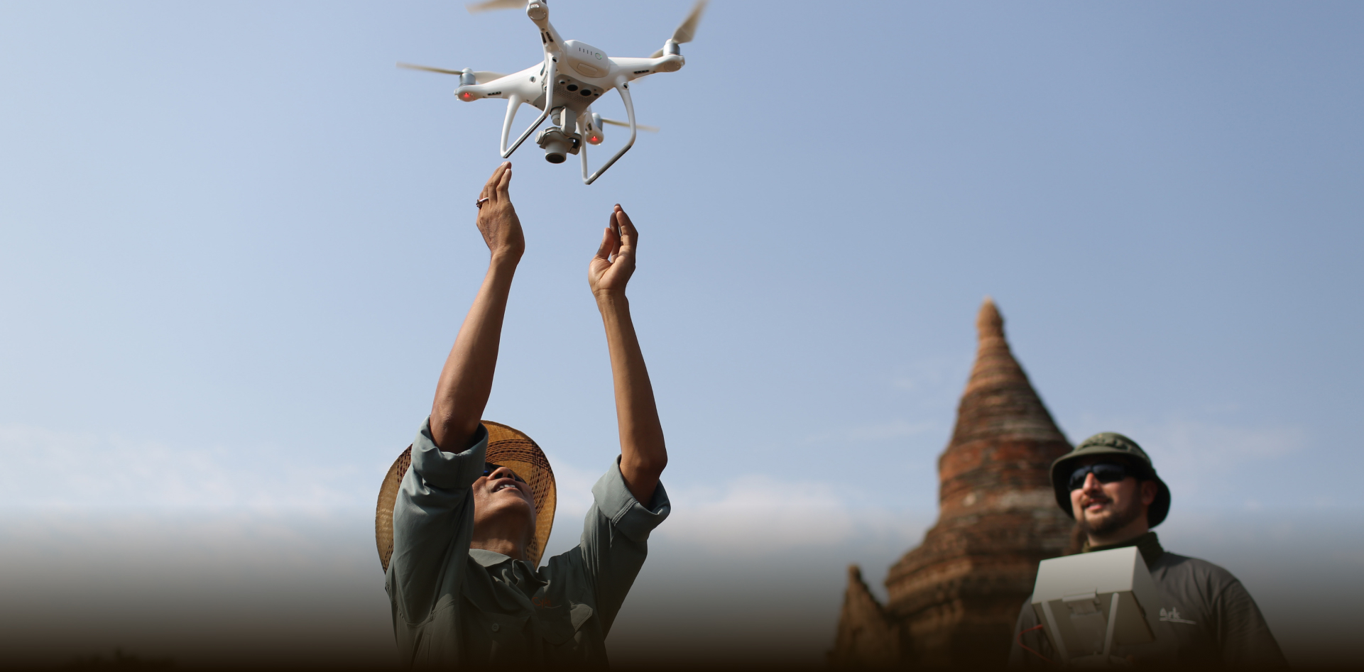
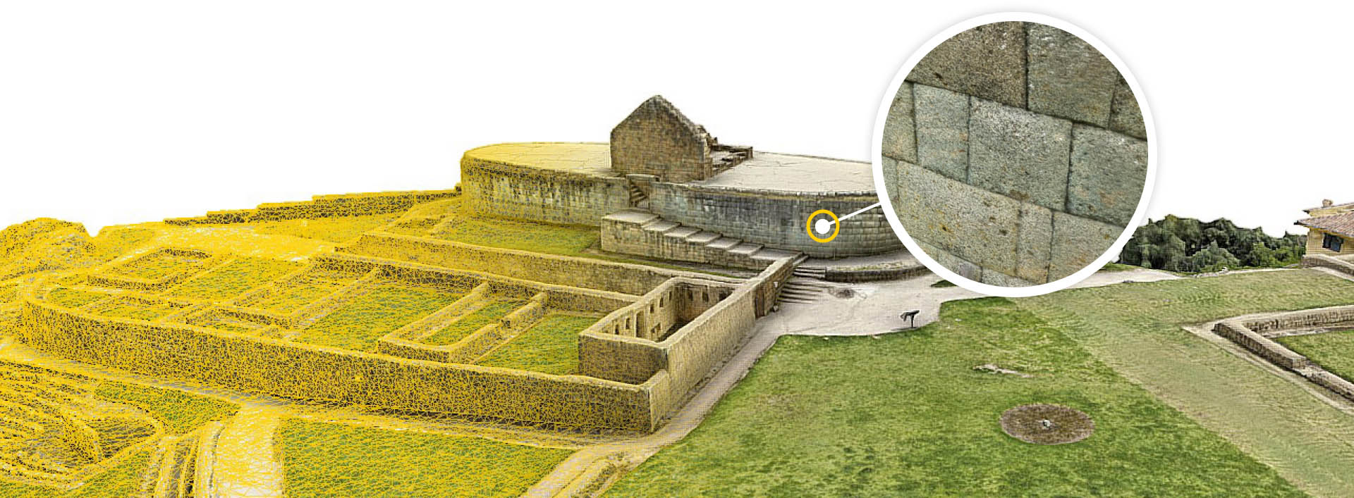
CyArk employs a state-of-the-art methodology that integrates data from LiDAR devices with both aerial and terrestrial photogrammetry. This combination results in a photo-textured 3D mesh, capturing millimeter-resolution details of core areas of the subject.
Beyond the primary subject, our approach also provides comprehensive documentation of the broader surrounding environment, ensuring a holistic representation of the site.
Beyond the primary subject, our approach also provides comprehensive documentation of the broader surrounding environment, ensuring a holistic representation of the site.
Case Studies
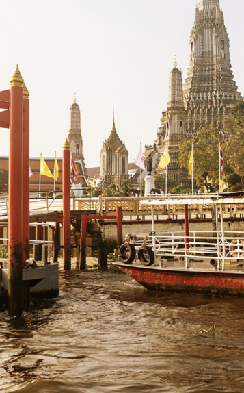
Wat Arun
Thailand
Input Data
Scans: 161
Terrestrial Photogrammetric Images: 15,619
Aerial Photogrammetric Images: 4,350
Field Time: 7 Days
High Quality Model
Polygons: 16 Million
Textures: 35 8K Textures
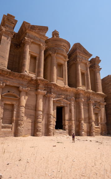
Petra
Jordan
Input Data
Scans: 153
Terrestrial Photogrammetric Images: 10,497
Aerial Photogrammetric Images: 3,057
Field Time: 4 Days
High Quality Model:
Polygons: 35 Million
Textures: 380 8K Textures
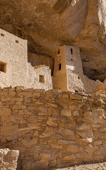
Cliff Palace
USA
Input Data
Scans: 347
Terrestrial Photogrammetric Images: 16,543
Aerial Photogrammetric Images: 0
Field Time: 5 Days
High Quality Model
Polygons: 37 Million
Textures: 55 8K Textures
CyArk offers specialized documentation services for cultural heritage sites. If you have a project that requires our expertise, please contact our team to discuss the specifics.
We invest in the ongoing development of this methodology, partnering with technology companies across the globe and endeavor to share these techniques and methods with the cultural heritage community.
Our Technology Partners